
Oak Hill Area FSC | Breaking News -- New USFS Link
Wildfire Risk - El Dorado County
Wildfire Risk - Our Council Area
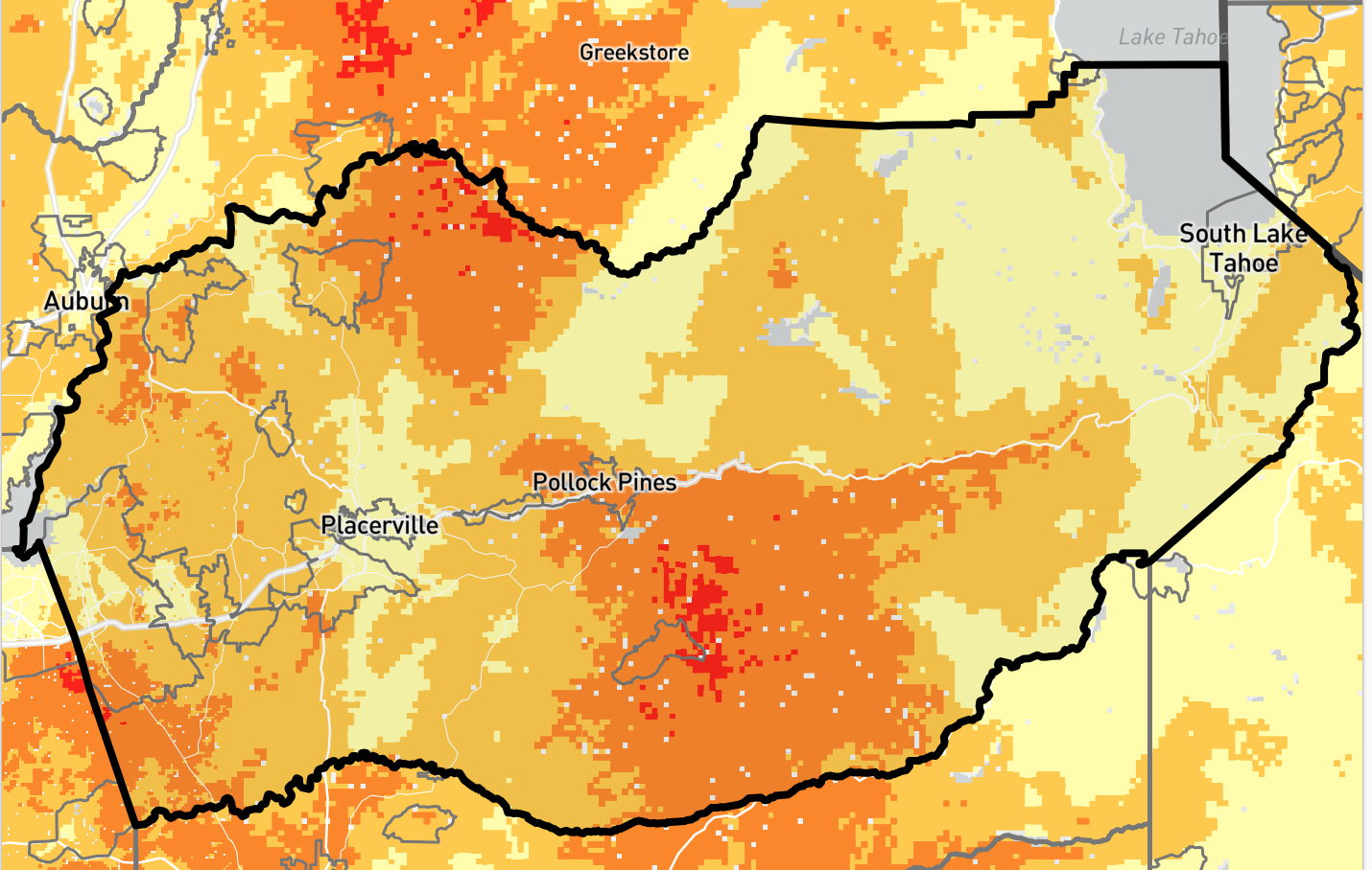
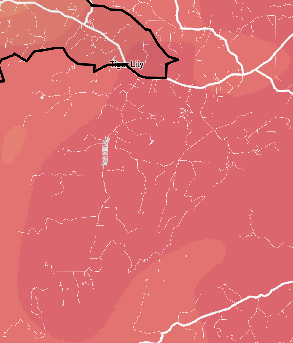
The U. S. Forest Service has announced a new online resource titled Wildfire Risk to Communities that provides new data and analyses using interactive mapping and grouped under the headings:
- Risk to Homes
- Exposure Type
- Wildfire Likelihood
- Vulnerable Populations
The maps cover all of California and are searchable for any specific area. Above is a screen shot showing one of the interactive maps covering El Dorado County. To the right is a screen shot of another map zoomed in to our council area.